
Overwatering
Water gets applied by zone or by habit, not by need — soaking areas that were already fine while dry spots stay thirsty.
See your course like never before
AirLinks Drones flies calibrated multispectral drones over your course and turns the imagery into a clear map of stress, weeds, and standing water — pinpointing the exact problem areas so you water, treat, and staff exactly where it's needed, and nowhere it isn't.
Selected for Y Combinator's Startup School 2026 · San Francisco
Flown at Texas golf courses
The hidden cost of guesswork
By the time a dry patch, a weed outbreak, or a drainage failure is obvious from the ground, the water, chemicals, and labor to fix it have already been spent — usually across whole fairways instead of the few zones that needed it.
Water gets applied by zone or by habit, not by need — soaking areas that were already fine while dry spots stay thirsty.
Outbreaks spread across holes in days but are usually caught only on foot, after they've taken hold and while herbicide gets sprayed wall to wall.
Drainage failures and pooling quietly damage turf and disrupt play, with no record of where they keep coming back.
Up to 40% of the water applied to a course can be lost to runoff and evaporation before it ever reaches the root zone. AirLinks shows you which zones actually need it.
What it means for your course
The drone doesn't just take pretty pictures — it tells your crew precisely where to go, so time, water, and chemicals all go further.
Stress, weeds, and wet spots show up as exact zones on a map — nothing hides between mowing passes.
No more walking the whole course to scout. Staff head straight to the zones that need attention.
Treat only the affected zones instead of spraying wall to wall — cutting product use, cost, and runoff.
Direct irrigation to the zones that need it rather than blanket-watering the whole course.
Near-infrared reveals stress and disease before the eye can see it — while it's still cheap and easy to fix.
How it works
A drone flies a repeatable mission by hole, zone, or full course, capturing calibrated multispectral and high-resolution imagery.
Our models turn the imagery into vegetation-index maps and flag weeds, mowing inconsistencies, and pooling — automatically.
Your dashboard shows exactly which zones need water or treatment, so applications are targeted instead of blanket.
Every flight is stored, so you can watch conditions and treatments trend across weeks and seasons.
Proven on the ground
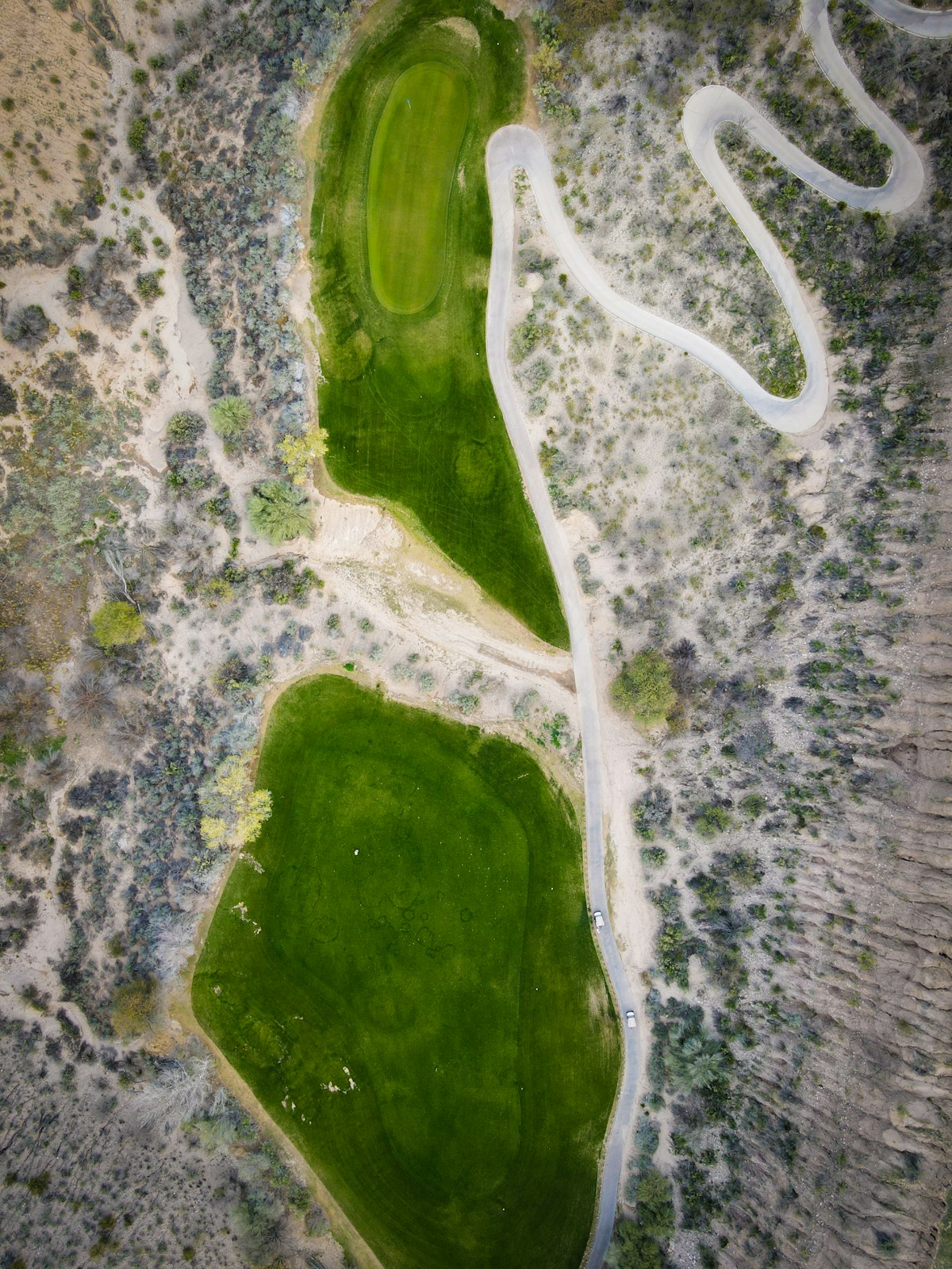
AirLinks has already taken to the sky over golf courses in Allen, Texas — the courses at Twin Creeks and the courses at Watters Creek — mapping turf the way superintendents have never been able to see it.
Questions
We fly calibrated multispectral drones over your golf course and turn the imagery into zone-level maps of turf stress, weed outbreaks, and standing water — so you cut water and chemical use, save staff time, and catch problems days earlier.
We've flown turf-mapping missions at the courses at Twin Creeks and the courses at Watters Creek, both in Allen, Texas.
The drone shows exactly which zones are stressed, weedy, or holding water, so irrigation and treatment go only where needed instead of blanket across whole fairways — and your crew skips the manual scouting.
Multispectral sensors capture near-infrared and red-edge light that reveal plant health before it's visible to the eye. NDVI is a vegetation index from that data that highlights turf stress across the course for early detection.
We're based in Texas and serve Allen and Central Texas. Email airlinksdrones@gmail.com or use our contact form to set up a scan.
Tell us about your course and we'll set up a scan.
Get in touch