
The courses at Twin Creeks
Allen, Texas
We flew multispectral mapping missions over the fairways at Twin Creeks, turning a single pass into hydration and stress maps by hole — a view of the turf that walk-throughs simply can't give.
On course
AirLinks isn't a concept — it has already flown over working golf courses in Allen, Texas, mapping turf that crews couldn't see from the ground.
Where we've flown
Central Texas turf, year-round play, and superintendents who care about every drop of water and every acre of chemical. A good place to prove the platform.
The courses at Twin Creeks
Allen, Texas
We flew multispectral mapping missions over the fairways at Twin Creeks, turning a single pass into hydration and stress maps by hole — a view of the turf that walk-throughs simply can't give.
The courses at Watters Creek
Allen, Texas
At Watters Creek, AirLinks showed how quickly a drone pass can surface weed zones and pooling that would otherwise go unnoticed until they became a problem — and a cost.
From the flight line
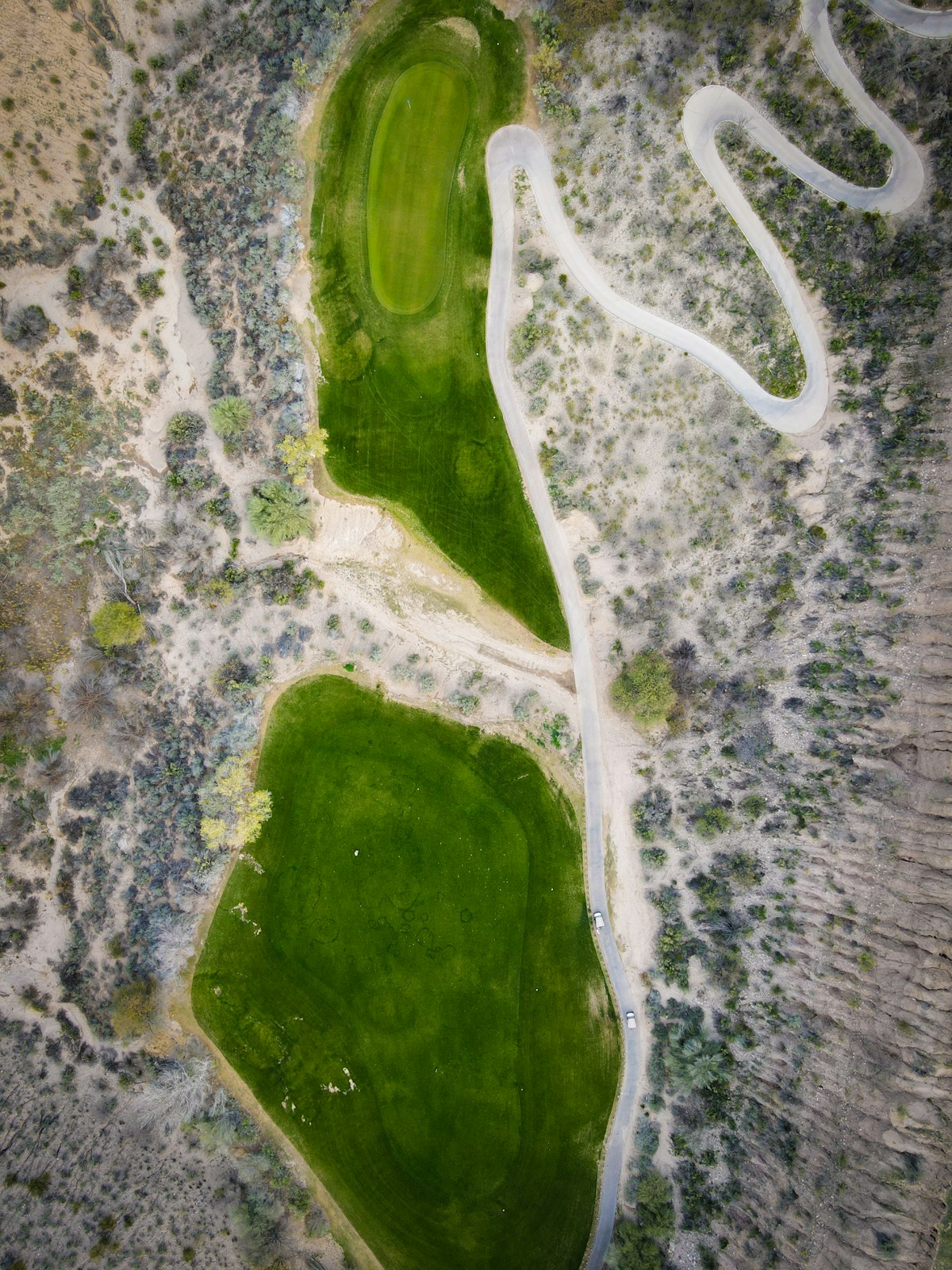
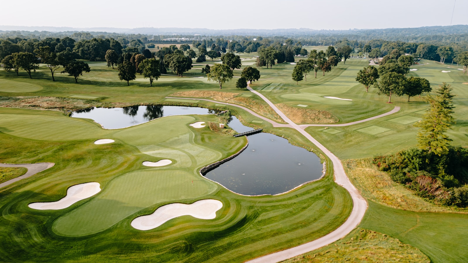
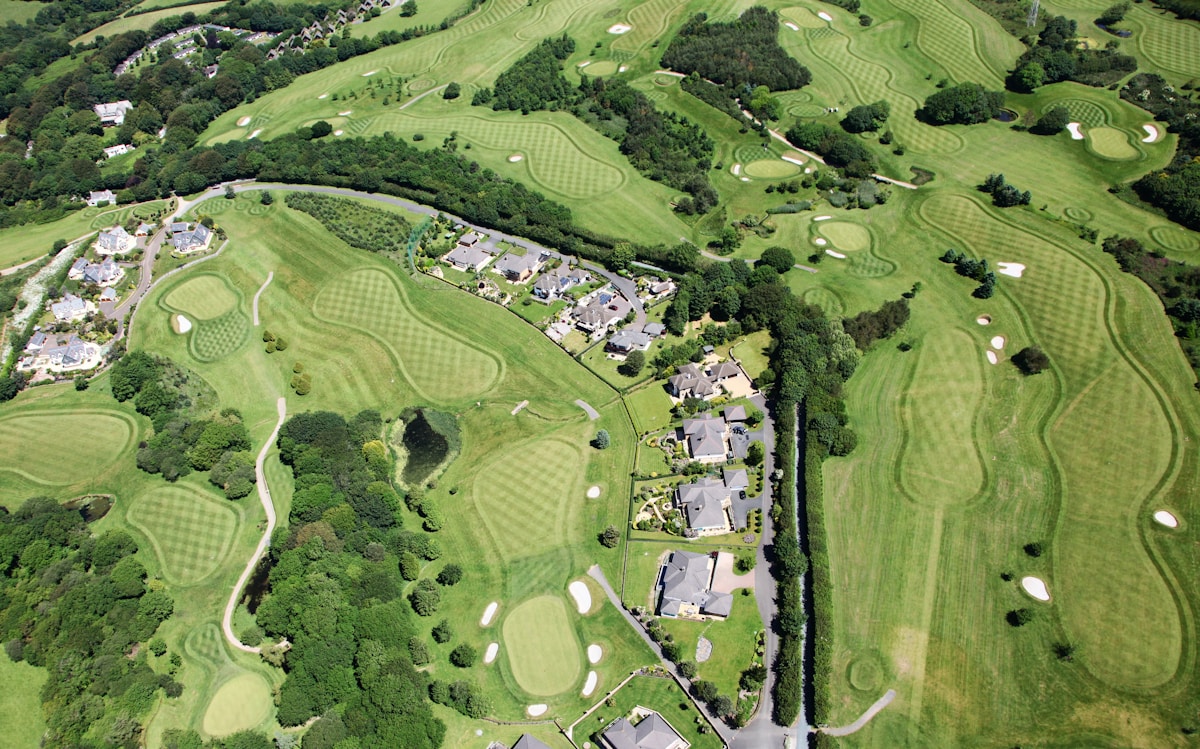
Illustrative aerial imagery — swap in photos from your own flights at Twin Creeks and Watters Creek, which will carry even more weight.
What flying a real course proves
Anyone can show a screenshot. Flying real courses is how you learn whether the data holds up in Texas heat and wind, whether the maps line up hole to hole, and whether a superintendent can act on what comes back. These flights move AirLinks from a good idea to a tool that's been in the sky over working turf.
Each course we fly also makes the platform sharper. Every mission adds to a growing library of real turf imagery, which is what makes the models better at telling a weed from a shadow and a dry patch from a mowing line.